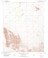
1968 Map of Amargosa Flat
USGS Topo · Published 1970About this map
Amargosa Flat (Alkali) dominates the northern expanse of this quadrangle, defining a stark landscape within the broader Amargosa Desert. Mapped in the mid-1960s, the terrain shows a harsh environment characterized by shifting Sand Dunes and minimal water sources, marked only by an occasional Well. Evidence of human industry is sparse but present in the form of a Claypit and scattered Prospects in the southern highlands. This 1968 survey captures the region at a time when only light-duty and unimproved dirt roads provided access through the basin. The map illustrates the extreme topography of the Nevada desert, where survival relied on these few infrastructure points and the extraction of mineral resources from the arid soil.
Find a feature on this map
7 named features on this map. Tap any name to fly to it.
Don’t see what you’re looking for? This feature index may not catch every label — zoom into the map to look around manually.
Map Details
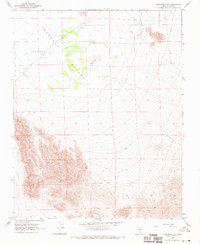
Editions of this 1968 Amargosa Flat Map
2 editions found
Other maps of this area

1908 · Furnace Creek
USGS Topo · 1:250,000

1910 · Furnace Creek
USGS Topo · 1:250,000

1942 · Skull Mountain
USGS Topo · 1:125,000

1948 · Death Valley
USGS Topo · 1:250,000

1952 · Ash Meadows
USGS Topo · 1:62,500

1952 · Specter Range
USGS Topo · 1:62,500

1954 · Death Valley
USGS Topo · 1:250,000

1956 · Death Valley
USGS Topo · 1:250,000

1957 · Death Valley
USGS Topo · 1:250,000

1958 · Death Valley
USGS Topo · 1:250,000