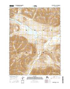
2016 Map of Ambler River D-1 NE
USGS Topo · Published 2016About this map
Noatak National Preserve meets Gates Of The Arctic National Park in this remote section of the Northwest Arctic Borough. The landscape is defined by its significant freshwater features, most notably Lake Amitchiak and the sprawling Lake Kipmik, which dominate the central basins between high-altitude ridgelines. Running through the southern canyons, Midas Cr drains the rugged interior toward the west. This 2016 study provides a precise view of the drainage patterns and untouched wilderness of the Brooks Range, where established trails and settlements are entirely absent, leaving only the natural hydrography and federally protected boundaries to define the geography.
Find a feature on this map
11 named features on this map. Tap any name to fly to it.
Don’t see what you’re looking for? This feature index may not catch every label — zoom into the map to look around manually.
Map Details
Editions of this 2016 Ambler River D-1 NE Map
This is the sole edition of this map. No revisions or reprints were ever made.
Other maps of this area

1951 · Survey Pass
USGS Topo · 1:250,000

1951 · Howard Pass
USGS Topo · 1:250,000

1951 · Ambler River
USGS Topo · 1:250,000

1951 · Killik River
USGS Topo · 1:250,000

1956 · Survey Pass
USGS Topo · 1:250,000

1956 · Howard Pass
USGS Topo · 1:250,000

1956 · Killik River
USGS Topo · 1:250,000

1956 · Ambler River
USGS Topo · 1:250,000

1964 · Survey Pass
USGS Topo · 1:250,000

1964 · Ambler River
USGS Topo · 1:250,000