
1956 Map of Survey Pass
USGS Topo · Published 1959About this map
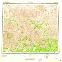
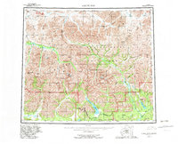
Schwatka Mountains and the Endicott Mountains form the formidable core of this 1950s interior landscape, where the Brooks Range creates a continental divide for the northern wilderness. The drainage patterns revealed here show the headwaters of the Kobuk River and the Alatna River systems, which were vital corridors for early exploration. Isolated human presence is marked by the Swan Cabin and a lone Cabin near the Nigu River, alongside the Portage near Helpmejack. This survey captures the region just before the mid-century's aerial mapping efforts were fully finalized, highlighting the topographic prominence of Mt Igikpak and the jagged Arrigetch Peaks. The presence of several high-altitude passes, including Survey Pass and Angunelechak Pass, suggests the traditional routes used by those traversing the divide between the Second and Fourth Judicial Divisions.
Find a feature on this map
74 named features on this map. Tap any name to fly to it.
Don’t see what you’re looking for? This feature index may not catch every label — zoom into the map to look around manually.
Map Details
Editions of this 1956 Survey Pass Map
7 editions found
Other maps of this area

1951 · Shungnak
USGS Topo · 1:250,000

1951 · Hughes
USGS Topo · 1:250,000

1951 · Bettles
USGS Topo · 1:250,000

1951 · Survey Pass
USGS Topo · 1:250,000

1951 · Chandler Lake
USGS Topo · 1:250,000

1951 · Howard Pass
USGS Topo · 1:250,000

1951 · Ambler River
USGS Topo · 1:250,000

1951 · Killik River
USGS Topo · 1:250,000

1951 · Wiseman
USGS Topo · 1:250,000

1955 · Shungnak
USGS Topo · 1:250,000