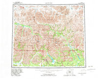
1956 Map of Survey Pass
USGS Topo · Published 1982About this map
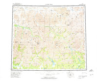
Walker Lake and the Killik River headwaters dominate this wilderness survey, which documents the remote topography of the Brooks Range during the mid-20th century. The map illustrates a complex network of high-altitude passes and glacial lakes, including Ernie Lake and Takahula Lake, which have served as critical landmarks for interior travel. Human activity is represented by the Alatna Portage and a single Cabin near Swan Lake, alongside the naturally occurring Reed Hot Springs.
Find a feature on this map
64 named features on this map. Tap any name to fly to it.
Don’t see what you’re looking for? This feature index may not catch every label — zoom into the map to look around manually.
Map Details
Editions of this 1956 Survey Pass Map
7 editions found

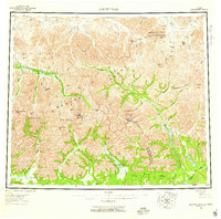
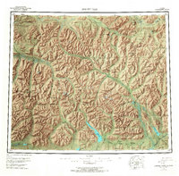
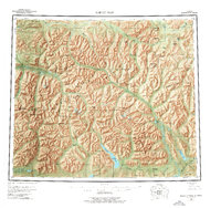
Other maps of this area

1951 · Shungnak
USGS Topo · 1:250,000

1951 · Hughes
USGS Topo · 1:250,000

1951 · Bettles
USGS Topo · 1:250,000

1951 · Survey Pass
USGS Topo · 1:250,000

1951 · Chandler Lake
USGS Topo · 1:250,000

1951 · Howard Pass
USGS Topo · 1:250,000

1951 · Ambler River
USGS Topo · 1:250,000

1951 · Killik River
USGS Topo · 1:250,000

1951 · Wiseman
USGS Topo · 1:250,000

1955 · Shungnak
USGS Topo · 1:250,000