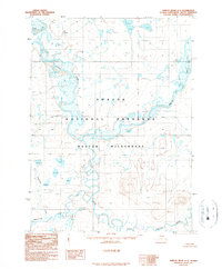
1990 Map of Ambler River D-5
USGS Topo · Published 1990About this map
Noatak National Preserve and the Noatak Wilderness dominate this Arctic landscape, representing a significant moment in land conservation following the 1980 Alaska National Interest Lands Conservation Act. The intricate hydrology of the Brooks Range is mapped here through the winding course of the Noatak River as it receives major tributaries including the Cutler River and the Imelyak River. This provisional survey, compiled from aerial photography, captures the drainage patterns of remote waterways like Kunyagnak Creek and Kalaich Creek before modern digital mapping. A singular location label, Natmotirak, stands out among the unnamed peaks and kettle ponds, indicating the enduring presence of indigenous naming conventions in a region defined by its lack of road infrastructure or permanent settlements.
Find a feature on this map
8 named features on this map. Tap any name to fly to it.
Don’t see what you’re looking for? This feature index may not catch every label — zoom into the map to look around manually.
Map Details
Editions of this 1990 Ambler River D-5 Map
This is the sole edition of this map. No revisions or reprints were ever made.
Other maps of this area

1951 · Howard Pass
USGS Topo · 1:250,000

1951 · Ambler River
USGS Topo · 1:250,000

1956 · Howard Pass
USGS Topo · 1:250,000

1956 · Ambler River
USGS Topo · 1:250,000

1964 · Ambler River
USGS Topo · 1:250,000
1990 · Ambler River D-4
USGS Topo · 1:63,360
1990 · Howard Pass A-4
USGS Topo · 1:63,360
1990 · Ambler River D-6
USGS Topo · 1:63,360
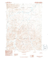
1990 · Ambler River C-6
USGS Topo · 1:63,360
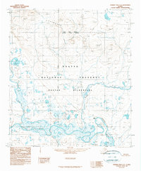
1990 · Howard Pass A-5
USGS Topo · 1:63,360