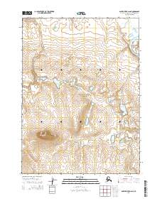
2015 Map of Ambler River D-6 NE
USGS Topo · Published 2015About this map
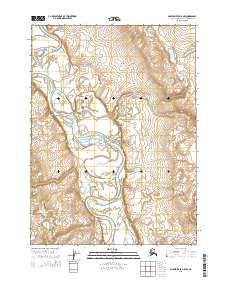
Noatak National Preserve encompasses the majority of this landscape, protecting a significant portion of the Arctic watershed. The Noatak River enters the frame in the northeast, winding through a broad glacial valley before continuing its westward course toward the Chukchi Sea. This specific survey illustrates the Public Land Survey System grid including t30n r1e, t30n r2e, t29n r1e, and t29n r2e, which defines the administrative structure of this remote region. The topography is characterized by complex contour intervals that reveal the elevation shifts and drainage patterns of the Brooks Range foothills, showcasing the transition from riverine lowlands to upland tundra.
Find a feature on this map
6 named features on this map. Tap any name to fly to it.
Don’t see what you’re looking for? This feature index may not catch every label — zoom into the map to look around manually.
Map Details
Editions of this 2015 Ambler River D-6 NE Map
This is the sole edition of this map. No revisions or reprints were ever made.
Other maps of this area

1951 · Howard Pass
USGS Topo · 1:250,000

1951 · Ambler River
USGS Topo · 1:250,000

1956 · Howard Pass
USGS Topo · 1:250,000

1956 · Ambler River
USGS Topo · 1:250,000

1964 · Ambler River
USGS Topo · 1:250,000
1990 · Ambler River D-6
USGS Topo · 1:63,360
1990 · Howard Pass A-5
USGS Topo · 1:63,360
1990 · Ambler River D-5
USGS Topo · 1:63,360
2015 · Ambler River D-5 NW
USGS Topo · 1:25,000
2015 · Ambler River D-5 SW
USGS Topo · 1:25,000