2024 Map of Amboy
USGS Topo · Published 2024About this map
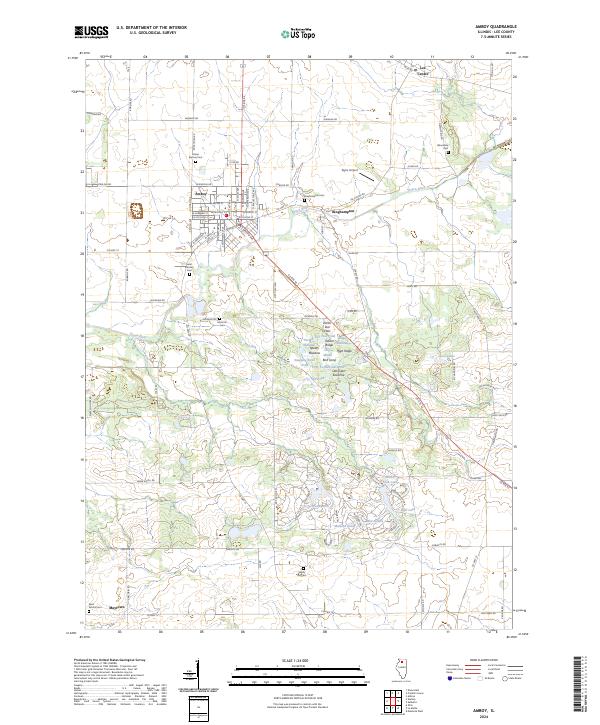
The Green River meanders across this Lee County landscape, anchoring a region defined by its small agricultural hubs and complex wetland systems. In Amboy, a dense grid of streets like W Main St and S Appleton Ave reflects the town's established layout near the historic junction with US Rte 52. The surrounding countryside is dotted with a high concentration of burial grounds, including Prairie Repose Cem and the Mormon Cem, offering significant value for genealogical research. To the south, a cluster of modern recreational water bodies such as Woodhaven Lake and Bass Lake contrasts with the specialized ecological labels found further north. Features like Earth Star Flats, Fifty Turtlehead Pond, and Bird Song Savanna indicate a landscape carefully managed for conservation and biodiversity alongside traditional aviation at Taylor Airport.
Find a feature on this map
96 named features on this map. Tap any name to fly to it.
Don’t see what you’re looking for? This feature index may not catch every label — zoom into the map to look around manually.
Map Details
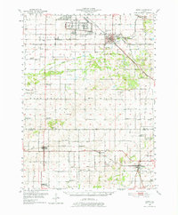
Editions of this 2024 Amboy Map
This is the sole edition of this map. No revisions or reprints were ever made.
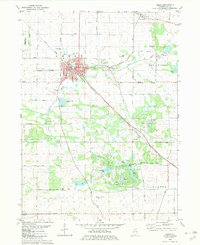
Historical Maps of Maytown Through Time
Featured Locations
- Amboy Township, IL
- Lee Center Township, IL
- May Township, IL
- Lee Center, Lee Center Township
- Amboy, Amboy Township