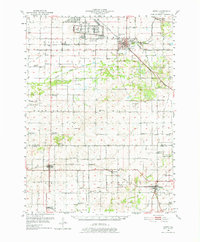
1951 Map of Amboy
USGS Topo · Published 1977About this map
The Green River Ordnance Plant dominates the northern landscape of this mid-century Lee County survey, reflecting a transition from purely agricultural land to industrial military use. Centered on the town of Amboy, the region is bisected by the Illinois Central and the Chicago Burlington and Quincy RR, which serviced smaller settlements like Binghamton and Walton. The terrain is defined by the Green River, supported by civil engineering projects such as the Main Ditch, and includes the Green River Wildlife Refuge.
Find a feature on this map
59 named features on this map. Tap any name to fly to it.
Don’t see what you’re looking for? This feature index may not catch every label — zoom into the map to look around manually.
Map Details
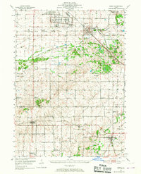
Editions of this 1951 Amboy Map
3 editions found

Other maps of this area

1893 · Hennepin
USGS Topo · 1:62,500

1893 · Lasalle
USGS Topo · 1:62,500

1909 · Hennepin
USGS Topo · 1:62,500

1911 · La Salle
USGS Topo · 1:62,500

1911 · Hennepin
USGS Topo · 1:62,500

1913 · La Salle
USGS Topo · 1:62,500

1918 · Dixon
USGS Topo · 1:62,500

1921 · Buda
USGS Topo · 1:62,500

1923 · Buda
USGS Topo · 1:62,500

1930 · Woodsung
USGS Topo · 1:48,000