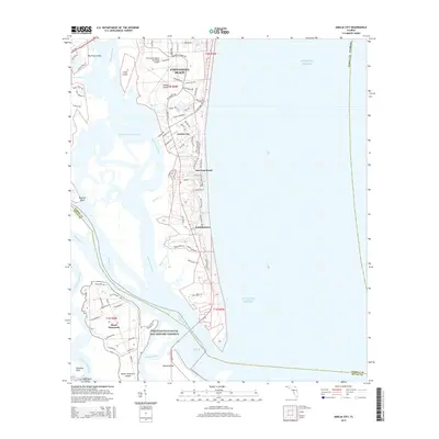
2015 Map of Amelia City
USGS Topo · Published 2015About this map
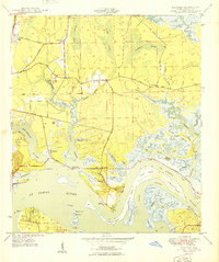
Amelia Island serves as the focal point of this coastal study, showing a landscape defined by the complex interface of the Atlantic Ocean and the sprawling marshlands of the Intracoastal Waterway. The northern reaches include the edge of Fernandina Beach and the Fernandina Beach Municipal Airport, while the southern end of the island transitions into protected conservation lands. The presence of the Timucuan Ecological and Historic Preserve signifies the preservation of this maritime hammock ecosystem, even as residential developments like Amelia City and American Beach line the eastern shore.
Find a feature on this map
82 named features on this map. Tap any name to fly to it.
Don’t see what you’re looking for? This feature index may not catch every label — zoom into the map to look around manually.
Map Details
Editions of this 2015 Amelia City Map
This is the sole edition of this map. No revisions or reprints were ever made.
Other maps of this area
1918 · St Marys
USGS Topo · 1:62,500

1918 · Jacksonville
USGS Topo · 1:62,500
1918 · Mayport
USGS Topo · 1:62,500
1919 · Fernandina
USGS Topo · 1:62,500
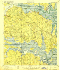
1919 · St Marys
USGS Topo · 1:62,500
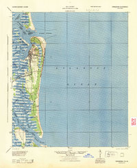
1944 · Fernandina
USGS Topo · 1:62,500

1948 · Jacksonville
USGS Topo · 1:250,000
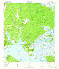
1948 · Eastport
USGS Topo · 1:24,000
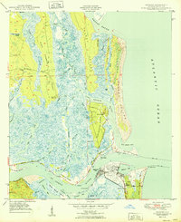
1950 · Mayport
USGS Topo · 1:24,000
1950 · Eastport
USGS Topo · 1:24,000