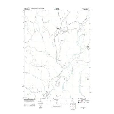
2013 Map of Amenia
USGS Topo · Published 2013About this map
Amenia and Wassaic serve as the primary hubs in this corner of Dutchess County, where the valley floor is defined by the convergence of Wassaic Cr and Webatuck Cr to form the Tenmile River. The settlement pattern reflects a long-standing agricultural and early industrial heritage, with hamlets like South Amenia, Lithgow, and Leedsville dotting the landscape. In Amenia, a dense street grid including Church St and Railroad Ave centers around the local post office and the Amenia Island Cem.
Find a feature on this map
92 named features on this map. Tap any name to fly to it.
Don’t see what you’re looking for? This feature index may not catch every label — zoom into the map to look around manually.
Map Details
Editions of this 2013 Amenia Map
This is the sole edition of this map. No revisions or reprints were ever made.
Other maps of this area

1892 · Cornwall
USGS Topo · 1:62,500

1892 · New Milford
USGS Topo · 1:62,500

1893 · New Milford
USGS Topo · 1:62,500

1893 · Cornwall
USGS Topo · 1:62,500

1893 · Clove
USGS Topo · 1:62,500

1894 · Clove
USGS Topo · 1:62,500

1898 · Clove
USGS Topo · 1:62,500

1899 · Millbrook
USGS Topo · 1:62,500

1901 · Clove
USGS Topo · 1:62,500

1902 · Millbrook
USGS Topo · 1:62,500