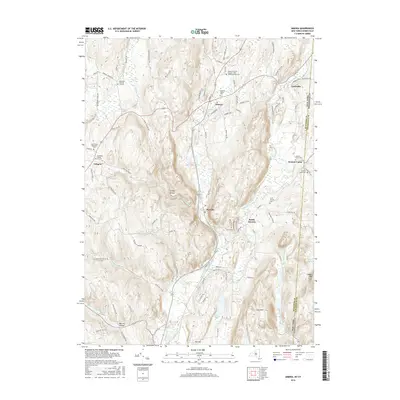
2016 Map of Amenia
USGS Topo · Published 2016About this map
Amenia and its surrounding hamlets sit at a geographic crossroads where the Tenmile River and Webatuck Creek carve paths through the Taconic landscape. This modern survey illustrates a corridor of historic settlements stretching from Lithgow in the west to the border community of Amenia Union on the Connecticut line. The abundance of preserved cemeteries, such as the Amenia Burying Ground - Red Meeting House Cem and the Northrup Burial Ground, points to the deep ancestral roots of the Harlem Valley.
Find a feature on this map
79 named features on this map. Tap any name to fly to it.
Don’t see what you’re looking for? This feature index may not catch every label — zoom into the map to look around manually.
Map Details
Editions of this 2016 Amenia Map
This is the sole edition of this map. No revisions or reprints were ever made.
Other maps of this area

1892 · Cornwall
USGS Topo · 1:62,500

1892 · New Milford
USGS Topo · 1:62,500

1893 · New Milford
USGS Topo · 1:62,500

1893 · Cornwall
USGS Topo · 1:62,500

1893 · Clove
USGS Topo · 1:62,500

1894 · Clove
USGS Topo · 1:62,500

1898 · Clove
USGS Topo · 1:62,500

1899 · Millbrook
USGS Topo · 1:62,500

1901 · Clove
USGS Topo · 1:62,500

1902 · Millbrook
USGS Topo · 1:62,500