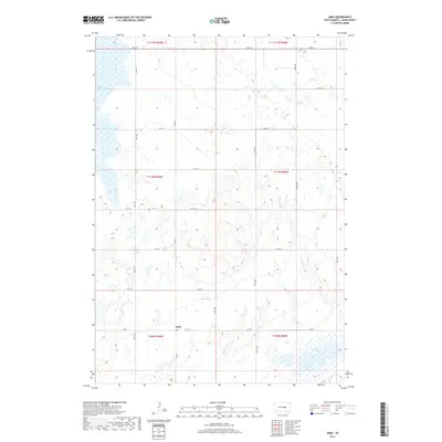
2017 Map of Ames
USGS Topo · Published 2017About this map
Ames sits at a rural crossroads in Hand County, serving as a primary marker in this section of the Great Plains. The landscape is defined by the Public Land Survey System, with a rigid grid of section lines and roads such as Co Rd 7 and Co Rd 6 carving the terrain into predictable plots. This geometry is broken only by the natural hydrology of the region, where seasonal and permanent basins dot the prairie. Notable water bodies include Wall Lake in the southeast and Collins Slough in the northwest, which represent the typical depressional wetlands found throughout this glacial landscape. The distribution of these water features among the surveyed sections highlights the persistence of native prairie hydrology even amidst decades of agricultural development.
Find a feature on this map
24 named features on this map. Tap any name to fly to it.
Don’t see what you’re looking for? This feature index may not catch every label — zoom into the map to look around manually.
Map Details
Editions of this 2017 Ames Map
This is the sole edition of this map. No revisions or reprints were ever made.
Other maps of this area

1949 · Vayland SW
USGS Topo · 1:24,000

1950 · Vayland NW
USGS Topo · 1:24,000

1951 · Vayland SW
USGS Topo · 1:24,000

1953 · Huron
USGS Topo · 1:250,000

1954 · Huron
USGS Topo · 1:250,000

1973 · Ames
USGS Topo · 1:24,000

1973 · Miller Dale Colony SW
USGS Topo · 1:24,000

1973 · Big Bend Dam 4 NW
USGS Topo · 1:24,000

1973 · Big Bend Dam 4 NE
USGS Topo · 1:24,000
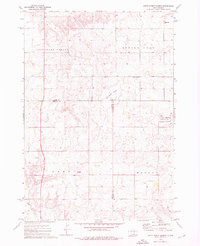
1973 · Mittelstedt Slough
USGS Topo · 1:24,000