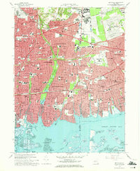
1969 Map of Amityville
USGS Topo · Published 1971About this map
Dense suburban development along the Nassau and Suffolk County line characterizes this late 1960s coastal survey. The landscape is defined by its transition from the northern cemeteries and industrial hubs like Republic Airport and Zahns Airport to the intricate canal-front communities of Amityville, Copiague, and Biltmore Shores. The extensive Pinelawn Cemetery complex and neighboring Beth Moses Cemetery dominate the northeast, while the Massapequa Preserve provides a significant green corridor following Massapequa Creek.
Find a feature on this map
90 named features on this map. Tap any name to fly to it.
Don’t see what you’re looking for? This feature index may not catch every label — zoom into the map to look around manually.
Map Details
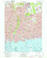
Editions of this 1969 Amityville Map
2 editions found
Other maps of this area

1897 · Hempstead
USGS Topo · 1:62,500

1897 · Oyster Bay
USGS Topo · 1:62,500

1898 · Hempstead
USGS Topo · 1:62,500

1898 · Oyster Bay
USGS Topo · 1:62,500

1899 · Hempstead
USGS Topo · 1:62,500

1900 · Oyster Bay
USGS Topo · 1:62,500

1901 · Babylon
USGS Topo · 1:62,500

1901 · Northport
USGS Topo · 1:62,500

1903 · Babylon
USGS Topo · 1:62,500

1903 · Northport
USGS Topo · 1:62,500