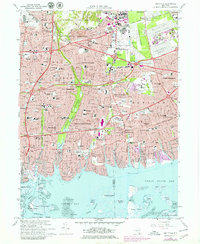
1969 Map of Amityville
USGS Topo · Published 1979About this map
The dense suburbanization of Long Island's south shore is evident in this late-1960s survey, where the Long Island railroad and the Southern State Parkway frame a landscape of rapidly maturing residential developments. The map highlights the transition from industrial aviation hubs like Republic Airport and Zahns Airport to vast civic and memorial spaces, most notably the concentrated cluster of cemeteries in the northeast such as Pinelawn National Cemetery and Beth Moses Cemetery.
Find a feature on this map
83 named features on this map. Tap any name to fly to it.
Don’t see what you’re looking for? This feature index may not catch every label — zoom into the map to look around manually.
Map Details
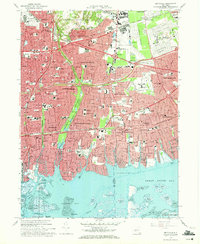
Editions of this 1969 Amityville Map
2 editions found
Other maps of this area

1897 · Hempstead
USGS Topo · 1:62,500

1897 · Oyster Bay
USGS Topo · 1:62,500

1898 · Hempstead
USGS Topo · 1:62,500

1898 · Oyster Bay
USGS Topo · 1:62,500

1899 · Hempstead
USGS Topo · 1:62,500

1900 · Oyster Bay
USGS Topo · 1:62,500

1901 · Babylon
USGS Topo · 1:62,500

1901 · Northport
USGS Topo · 1:62,500

1903 · Babylon
USGS Topo · 1:62,500

1903 · Northport
USGS Topo · 1:62,500