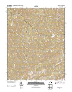
2013 Map of Amonate
USGS Topo · Published 2013About this map
Amonate and the surrounding central Appalachian valleys are defined by a network of drainage systems including Dry Fork and Lewis Fork in the southern coalfields. Small communities and commercial hubs like Bandy and Lamberts Store serve as nodes along a road network that includes Amonate Rd and Baptist Valley Rd. The map illustrates the specialized land use of the region, where narrow hollows such as Thirtyone Hollow and ridges like Whitaker Ridge separate small residential clusters and isolated outposts. Notable landmarks like the Bearwallow Lookout Tower and the Stone Steps highlight the topographic intensity of the terrain. The presence of Dunford Village and Camp Tazewell underscores the density of smaller, localized settlements that have historically characterized this part of the Virginia and West Virginia borderlands.
Find a feature on this map
77 named features on this map. Tap any name to fly to it.
Don’t see what you’re looking for? This feature index may not catch every label — zoom into the map to look around manually.
Map Details
Editions of this 2013 Amonate Map
This is the sole edition of this map. No revisions or reprints were ever made.
Other maps of this area

1891 · Tazewell
USGS Topo · 1:125,000

1895 · Tazewell
USGS Topo · 1:125,000

1897 · Tazewell
USGS Topo · 1:125,000

1910 · Iaeger
USGS Topo · 1:48,000

1912 · Pounding Mill
USGS Topo · 1:62,500

1912 · Iaeger
USGS Topo · 1:62,500

1912 · Welch
USGS Topo · 1:62,500

1914 · Iaeger
USGS Topo · 1:48,000

1915 · Richlands
USGS Topo · 1:48,000

1916 · Pounding Mill
USGS Topo · 1:62,500