2022 Map of Amonate
USGS Topo · Published 2022About this map
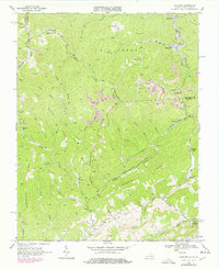
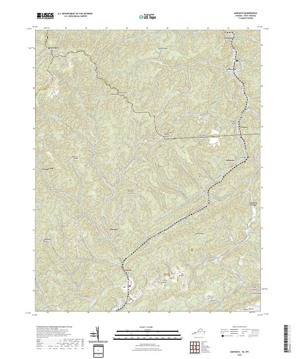
Amonate and surrounding Appalachian coal-country settlements define this landscape along the border of Virginia and West Virginia. This modern survey illustrates the rugged topography where the Tennessee Valley Divide separates north-flowing waters from the Clinch River watershed. Communities like Bandy, Harman, and Vallscreek are tucked into narrow valleys shaped by Indian Cr and Beech Fork. Near the West Virginia line, the Berwind Cem stands as a focal point for genealogical research overlooking Canebrake. The geography is marked by distinct ridges such as Stony Ridge and Big Fork Ridge, with notable landmarks like the Stone Steps and The Jumps signaling the dramatic elevation changes characteristic of this portion of Tazewell and Buchanan counties.
Find a feature on this map
91 named features on this map. Tap any name to fly to it.
Don’t see what you’re looking for? This feature index may not catch every label — zoom into the map to look around manually.
Map Details
Editions of this 2022 Amonate Map
This is the sole edition of this map. No revisions or reprints were ever made.