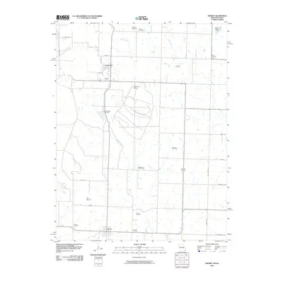
2009 Map of Amoret
USGS Topo · Published 2009About this map
The low-lying plains of Bates County near the Missouri-Kansas border are defined by the winding course of Mulberry Creek and a network of small family and community burial grounds. Several distinct topographical rises punctuate the flat landscape, including Spy Mound in the west and Summers Mound further north. The settlement of Amsterdam sits at a crossroads in the northern portion of the map, while the town of Amoret anchors the southern boundary.
Find a feature on this map
40 named features on this map. Tap any name to fly to it.
Don’t see what you’re looking for? This feature index may not catch every label — zoom into the map to look around manually.
Map Details
Editions of this 2009 Amoret Map
This is the sole edition of this map. No revisions or reprints were ever made.
Other maps of this area

1887 · Butler
USGS Topo · 1:125,000

1887 · Mound City
USGS Topo · 1:125,000

1893 · Mound City
USGS Topo · 1:125,000

1894 · Butler
USGS Topo · 1:125,000

1937 · New Home
USGS Topo · 1:24,000

1938 · Worland
USGS Topo · 1:24,000

1940 · Worland
USGS Topo · 1:24,000

1947 · Lawrence
USGS Topo · 1:250,000

1950 · Lawrence
USGS Topo · 1:250,000

1956 · Lawrence
USGS Topo · 1:250,000