
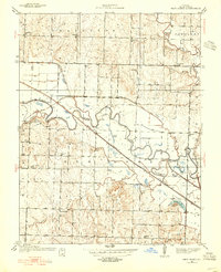
1937 Map of New Home
USGS Topo · Published 1939About this map
The Osage River meanders across this Bates County landscape, defining the rural geography between the townships of Charlotte and New Home. This 1930s era is characterized by a dense network of country schools, such as Virginia Sch and Enterprise Sch, which served the farming communities dispersed across the prairie. The industrial presence of the Black Diamond Mine in the southwest corner of the sheet points to the region's coal mining history, while the Missouri Pacific railroad provides the primary transportation link through Nyhart. Unusual water features like Double S Bend and Big Shoe Bend illustrate the natural winding course of the river before extensive modern channelization, though the Bates County Drainage Ditch No. 1 already shows early 20th-century efforts to manage the river bottomlands for agriculture.
Find a feature on this map
33 named features on this map. Tap any name to fly to it.
Don’t see what you’re looking for? This feature index may not catch every label — zoom into the map to look around manually.
Map Details
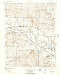
Editions of this 1937 New Home Map
3 editions found
Other maps of this area

1887 · Butler
USGS Topo · 1:125,000

1887 · Mound City
USGS Topo · 1:125,000

1893 · Mound City
USGS Topo · 1:125,000

1894 · Butler
USGS Topo · 1:125,000

1936 · Rich Hill
USGS Topo · 1:24,000

1938 · Worland
USGS Topo · 1:24,000

1940 · Worland
USGS Topo · 1:24,000

1940 · Hume
USGS Topo · 1:24,000

1942 · Hume
USGS Topo · 1:24,000
1942 · Sprague
USGS Topo · 1:24,000