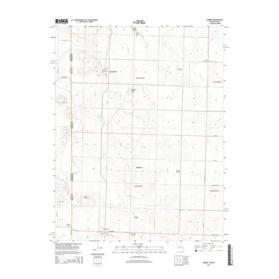
2014 Map of Amoret
USGS Topo · Published 2014About this map
The state line between Kansas and Missouri serves as the western boundary for this study of western Bates County, where small agricultural settlements are connected by a network of rural roads and section lines. The village of Amsterdam is laid out with a traditional grid including Main St and Walnut St, while Amoret sits further south along the same north-south axis. Numerous small family or community burial grounds, such as Walley Cemetery, Scott Cemetery, and Benjamin Cemetery, are scattered throughout the countryside, providing vital reference points for local genealogists.
Find a feature on this map
51 named features on this map. Tap any name to fly to it.
Don’t see what you’re looking for? This feature index may not catch every label — zoom into the map to look around manually.
Map Details
Editions of this 2014 Amoret Map
This is the sole edition of this map. No revisions or reprints were ever made.
Other maps of this area

1887 · Butler
USGS Topo · 1:125,000

1887 · Mound City
USGS Topo · 1:125,000

1893 · Mound City
USGS Topo · 1:125,000

1894 · Butler
USGS Topo · 1:125,000

1937 · New Home
USGS Topo · 1:24,000

1938 · Worland
USGS Topo · 1:24,000

1940 · Worland
USGS Topo · 1:24,000

1947 · Lawrence
USGS Topo · 1:250,000

1950 · Lawrence
USGS Topo · 1:250,000

1956 · Lawrence
USGS Topo · 1:250,000