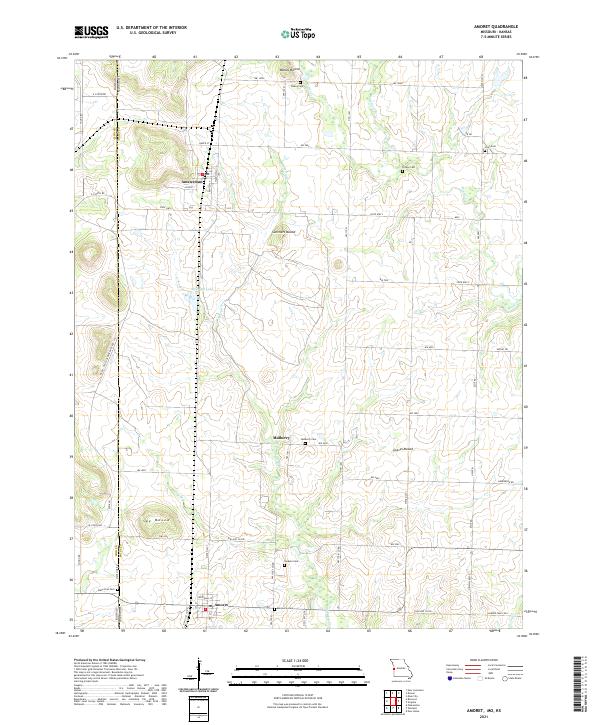
2021 Map of Amoret
USGS Topo · Published 2021About this map
The Missouri-Kansas state line defines the western edge of this landscape, where the small agricultural hubs of Amsterdam and Amoret anchor the local community. The terrain is marked by distinctive elevations such as Walley Mound, Summers Mound, Graves Mound, and Spy Mound, which rise above the drainages of Miami Cr and Mulberry Cr. Local history is deeply embedded in the land through a high concentration of family and community burial grounds, including State Line Cem, Jackson Cem, and Scott Cem. Industrial history remains visible in the western portion of the map, specifically through the RR RD - Old Coal Mine Haul Rd, which serves as a concrete reminder of the region's extraction heritage near the border. This 2021 update preserves the locations of rural settlements like Mulberry, illustrating the enduring spatial layout of Bates County farmsteads and rural crossroads.
Find a feature on this map
47 named features on this map. Tap any name to fly to it.
Don’t see what you’re looking for? This feature index may not catch every label — zoom into the map to look around manually.
Map Details
Editions of this 2021 Amoret Map
This is the sole edition of this map. No revisions or reprints were ever made.
Other maps of this area

1887 · Butler
USGS Topo · 1:125,000

1887 · Mound City
USGS Topo · 1:125,000

1893 · Mound City
USGS Topo · 1:125,000

1894 · Butler
USGS Topo · 1:125,000

1937 · New Home
USGS Topo · 1:24,000

1938 · Worland
USGS Topo · 1:24,000

1940 · Worland
USGS Topo · 1:24,000

1947 · Lawrence
USGS Topo · 1:250,000

1950 · Lawrence
USGS Topo · 1:250,000

1956 · Lawrence
USGS Topo · 1:250,000