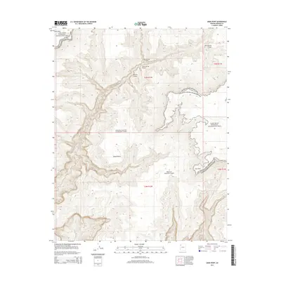
2014 Map of Amos Point
USGS Topo · Published 2014About this map
Grand Canyon National Park and the Lake Mead National Recreation Area converge in this high-desert landscape of Mohave County. The terrain is defined by the massive Sanup Plateau, a prominent flatland bounded by a network of deep, intricate drainage systems including Surprise Canyon and West Fork Separation Canyon. These geological features reflect the dramatic erosion patterns typical of the Arizona Strip, where rare water sources like Cottonwood Spring and Amos Spring provided critical lifelines for early travelers and cattlemen. Landmarks such as Amos Point and Twin Point offer significant vantage points over the sprawling canyon networks. This 2014 representation details the intersection of federal protected lands and the rugged natural boundaries that have dictated movement through this corner of the state for generations.
Find a feature on this map
16 named features on this map. Tap any name to fly to it.
Don’t see what you’re looking for? This feature index may not catch every label — zoom into the map to look around manually.
Map Details
Editions of this 2014 Amos Point Map
This is the sole edition of this map. No revisions or reprints were ever made.
Other maps of this area

1886 · Diamond Creek
USGS Topo · 1:250,000

1886 · Mt. Trumbull
USGS Topo · 1:250,000

1892 · Diamond Creek
USGS Topo · 1:250,000

1892 · Mt. Trumbull
USGS Topo · 1:250,000

1948 · Williams
USGS Topo · 1:250,000

1953 · Grand Canyon
USGS Topo · 1:250,000

1954 · Williams
USGS Topo · 1:250,000

1956 · Williams
USGS Topo · 1:250,000

1957 · Grand Canyon
USGS Topo · 1:250,000

1958 · Grand Canyon
USGS Topo · 1:250,000