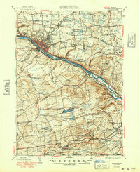
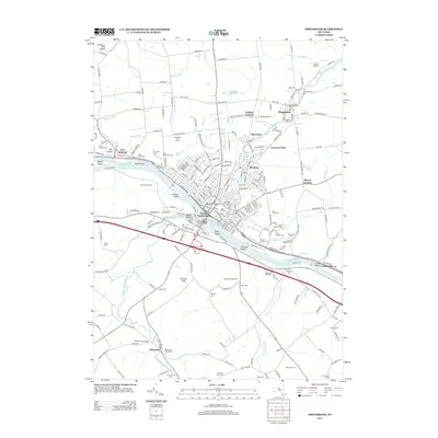
1931 Map of Amsterdam
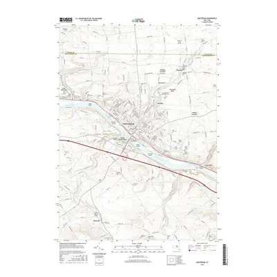
USGS Topo · Published 1947About this map
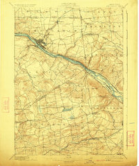
The Mohawk River corridor serves as the industrial and transportation backbone of this region, where the Erie Canal and competing rail lines like the New York Central and Hudson River RR and West Shore RR converge at Amsterdam. This 1928 survey captures the transition from dense urban centers to the surrounding agricultural uplands. In the city, major landmarks such as St Marys Ch and Fairview Cem are clearly defined, while smaller hamlets like Hagaman and Rockton populate the northern hills. To the south, the landscape is marked by numerous district schools, including Yankee Hill Sch and Belden Sch, indicating a well-distributed rural population before mid-century consolidation. The presence of the Montgomery County Sanatorium near Cranesville and leisure destinations like Mariaville Lake reflect the social and health infrastructure of the early twentieth century.
Find a feature on this map
101 named features on this map. Tap any name to fly to it.
Don’t see what you’re looking for? This feature index may not catch every label — zoom into the map to look around manually.
Map Details
Editions of this 1931 Amsterdam Map
3 editions found

Historical Maps of Guilderland Through Time
11 maps found
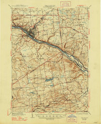
1895 Amsterdam
Montgomery County, NY
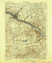
1931 Amsterdam
Montgomery County, NY
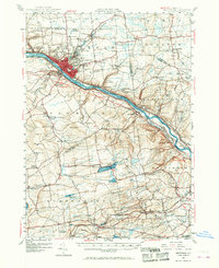
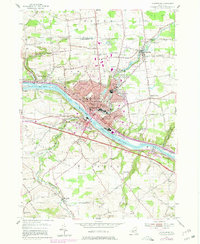
1947 Amsterdam
Montgomery County, NY
1949 Amsterdam
Montgomery County, NY
1954 Amsterdam
Montgomery County, NY
1985 Amsterdam
Montgomery County, NY
2010 Amsterdam
Montgomery County, NY
2013 Amsterdam
Montgomery County, NY
2016 Amsterdam
Montgomery County, NY
2019 Amsterdam
Montgomery County, NY

2023 Amsterdam
Montgomery County, NY