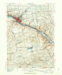
1947 Map of Amsterdam
USGS Topo · Published 1963About this map
The Mohawk River corridor serves as the industrial and transportation backbone of this region during the mid-20th century. The city of Amsterdam dominates the valley, surrounded by established residential and commercial districts like Rockton, South Amsterdam, and Crescent Park. This era captures the significant infrastructure of the Erie Canal and the Erie Canal (Abandoned) alongside the New York Central Railroad, illustrating the shift in transit modes that shaped the local economy.
Find a feature on this map
109 named features on this map. Tap any name to fly to it.
Don’t see what you’re looking for? This feature index may not catch every label — zoom into the map to look around manually.
Map Details
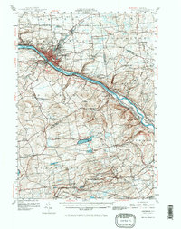
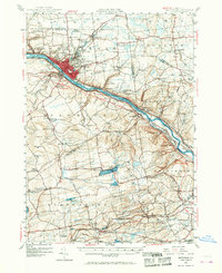
Editions of this 1947 Amsterdam Map
3 editions found
Other maps of this area

1893 · Schenectady
USGS Topo · 1:62,500

1893 · Albany
USGS Topo · 1:62,500

1895 · Albany
USGS Topo · 1:62,500

1895 · Schenectady
USGS Topo · 1:62,500

1895 · Amsterdam
USGS Topo · 1:62,500

1896 · Fonda
USGS Topo · 1:62,500

1898 · Schenectady
USGS Topo · 1:62,500

1898 · Albany
USGS Topo · 1:62,500

1898 · Fonda
USGS Topo · 1:62,500

1898 · Schoharie
USGS Topo · 1:62,500