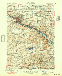
1949 Map of Amsterdam
USGS Topo · Published 1949About this map
The Mohawk River valley dominates this postwar landscape, serving as a corridor for the Erie Canal and competing rail lines like the New York Central and West Shore. The city of Amsterdam serves as the industrial and population hub, surrounded by smaller communities such as South Amsterdam, Fort Johnson, and Rockton. To the south, the terrain climbs toward Mariaville Lake and Featherstonhaugh Lake, where rural hamlets like Mariaville and Braman Corners maintain a distinct identity from the river valley.
Find a feature on this map
111 named features on this map. Tap any name to fly to it.
Don’t see what you’re looking for? This feature index may not catch every label — zoom into the map to look around manually.
Map Details
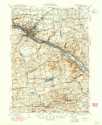
Editions of this 1949 Amsterdam Map
2 editions found
Other maps of this area

1893 · Schenectady
USGS Topo · 1:62,500

1893 · Albany
USGS Topo · 1:62,500

1895 · Albany
USGS Topo · 1:62,500

1895 · Schenectady
USGS Topo · 1:62,500

1895 · Amsterdam
USGS Topo · 1:62,500

1896 · Fonda
USGS Topo · 1:62,500

1898 · Schenectady
USGS Topo · 1:62,500

1898 · Albany
USGS Topo · 1:62,500

1898 · Fonda
USGS Topo · 1:62,500

1898 · Schoharie
USGS Topo · 1:62,500