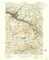
1949 Map of Amsterdam
USGS Topo · Published 1949About this map
Industrial activity and river-based transport define this mid-century landscape where the Mohawk River and the Erie Canal run parallel through the valley. The city of Amsterdam serves as the regional hub, flanked by satellite communities like South Amsterdam and Fort Johnson. Heavy rail infrastructure is prominent, with the New York Central Railroad and the West Shore Railroad following the river corridor, while the Delaware and Hudson Railroad serves the southern portions of the map near Duanesburg.
Find a feature on this map
125 named features on this map. Tap any name to fly to it.
Don’t see what you’re looking for? This feature index may not catch every label — zoom into the map to look around manually.
Map Details
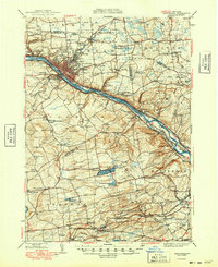
Editions of this 1949 Amsterdam Map
2 editions found
Other maps of this area

1893 · Schenectady
USGS Topo · 1:62,500

1893 · Albany
USGS Topo · 1:62,500

1895 · Albany
USGS Topo · 1:62,500

1895 · Schenectady
USGS Topo · 1:62,500

1895 · Amsterdam
USGS Topo · 1:62,500

1896 · Fonda
USGS Topo · 1:62,500

1898 · Schenectady
USGS Topo · 1:62,500

1898 · Albany
USGS Topo · 1:62,500

1898 · Fonda
USGS Topo · 1:62,500

1898 · Schoharie
USGS Topo · 1:62,500