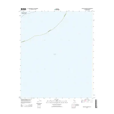
2015 Map of Anacapa Island OE SE
USGS Topo · Published 2015About this map
Pacific Ocean waters dominate this marine survey, which focuses on the offshore boundaries of Southern California during the mid-2010s. The map illustrates the maritime limits of Ventura Co and the state of California as they intersect with the protected marine environment. A portion of the Channel Islands National Park is demarcated in the upper northwest corner, representing a significant federal conservation area established to protect the unique biodiversity and archaeological sites of the archipelago. This sheet is primarily a hydrographic and jurisdictional reference, showing the spatial relationship between the mainland's administrative reaches and the open sea.
Find a feature on this map
4 named features on this map. Tap any name to fly to it.
Don’t see what you’re looking for? This feature index may not catch every label — zoom into the map to look around manually.
Map Details
Editions of this 2015 Anacapa Island OE SE Map
This is the sole edition of this map. No revisions or reprints were ever made.
Other maps of this area

1904 · Hueneme
USGS Topo · 1:62,500

1942 · Hueneme
USGS Topo · 1:62,500

1943 · Hueneme
USGS Topo · 1:62,500

1949 · Los Angeles
USGS Topo · 1:250,000

1949 · Long Beach
USGS Topo · 1:250,000

1955 · Los Angeles
USGS Topo · 1:250,000

1957 · Long Beach
USGS Topo · 1:250,000

1958 · Long Beach
USGS Topo · 1:250,000

1959 · Los Angeles
USGS Topo · 1:250,000

1960 · Long Beach
USGS Topo · 1:250,000