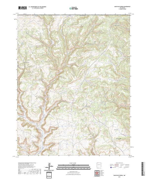
2023 Map of Anastacio Spring
USGS Topo · Published 2023About this map
Navajo Dam anchors the southeastern corner of this arid landscape in San Juan County, where high desert plateaus are deeply incised by a complex network of drainages. The topography is defined by major corridors such as Jaquez Canyon and Pump Canyon, which create a rugged series of mesas and ravines. Water sources, though sparse, are vital markers across the terrain, including Anastacio Spring, Beef Spring, and Lower Pinto Spring.
Find a feature on this map
37 named features on this map. Tap any name to fly to it.
Don’t see what you’re looking for? This feature index may not catch every label — zoom into the map to look around manually.
Map Details
Editions of this 2023 Anastacio Spring Map
This is the sole edition of this map. No revisions or reprints were ever made.
Other maps of this area

1889 · Largo
USGS Topo · 1:250,000

1895 · Largo
USGS Topo · 1:250,000

1908 · Ignacio
USGS Topo · 1:125,000

1924 · Ignacio
USGS Topo · 1:125,000

1945 · Durango
USGS Topo · 1:250,000

1953 · Durango
USGS Topo · 1:250,000

1954 · Durango
USGS Topo · 1:250,000

1954 · Pine River
USGS Topo · 1:24,000
1954 · Burnt Mesa
USGS Topo · 1:24,000

1954 · Aztec
USGS Topo · 1:250,000