
1954 Map of Pine River
USGS Topo · Published 1956About this map
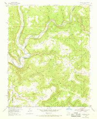
The Pine River, also labeled as the Los Pinos River, carves through the high plateau country of the northern New Mexico borderlands. This mid-1950s survey captures an era of intensive energy extraction across the San Juan and Rio Arriba county line, where an extensive network of pipelines and numerous gas wells overlay the natural drainage systems. The settlement of Pine River serves as a lone hub in a landscape dominated by deep arroyos and canyons.
Find a feature on this map
14 named features on this map. Tap any name to fly to it.
Don’t see what you’re looking for? This feature index may not catch every label — zoom into the map to look around manually.
Map Details
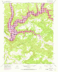
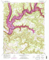
Editions of this 1954 Pine River Map
4 editions found
Other maps of this area

1889 · Largo
USGS Topo · 1:250,000

1895 · Largo
USGS Topo · 1:250,000
1954 · Burnt Mesa
USGS Topo · 1:24,000

1954 · Rosa
USGS Topo · 1:24,000

1954 · Gomez Ranch
USGS Topo · 1:24,000

1954 · Aztec
USGS Topo · 1:250,000

1958 · Aztec
USGS Topo · 1:250,000

1959 · Gould Pass
USGS Topo · 1:62,500

1959 · Navajo Dam
USGS Topo · 1:62,500

1962 · Aztec
USGS Topo · 1:250,000