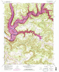
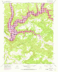
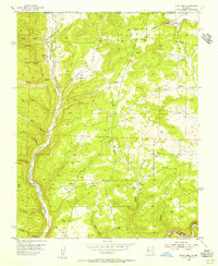
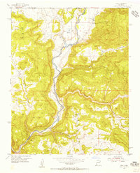
1954 Map of Navajo Dam
USGS Topo · Published 1996About this map
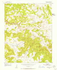
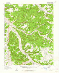
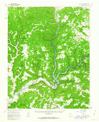
The Navajo Dam infrastructure and the rising waters of the Navajo Reservoir define this mid-century landscape on the border of San Juan and Rio Arriba Counties. Revised in the early 1970s, the map documents the dramatic transformation of the San Juan River valley into a massive water storage system. Significant portions of the rugged terrain, including Navajo Lake State Park, are highlighted for controlled inundation, illustrating the engineering scale required to support the Navajo Indian Irrigation project. High tablelands like Frances Mesa and Manzanares Mesa overlook the deepening canyons. Beyond the water works, the map reveals a burgeoning energy landscape, marked by a dense network of gas wells and pipelines such as the Pine River Road pipeline that crisscross the mesas, connecting remote extraction sites through Gobernador Canyon and Spirit Canyon.
Find a feature on this map
18 named features on this map. Tap any name to fly to it.
Don’t see what you’re looking for? This feature index may not catch every label — zoom into the map to look around manually.
Map Details
Editions of this 1954 Navajo Dam Map
4 editions found
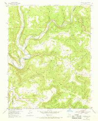
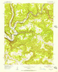
Other maps of this area

1889 · Largo
USGS Topo · 1:250,000

1895 · Largo
USGS Topo · 1:250,000
1954 · Pine River
USGS Topo · 1:24,000
1954 · Burnt Mesa
USGS Topo · 1:24,000
1954 · Rosa
USGS Topo · 1:24,000
1954 · Gomez Ranch
USGS Topo · 1:24,000

1954 · Aztec
USGS Topo · 1:250,000

1958 · Aztec
USGS Topo · 1:250,000
1959 · Gould Pass
USGS Topo · 1:62,500
1959 · Navajo Dam
USGS Topo · 1:62,500