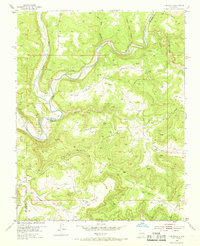
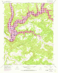
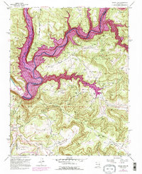
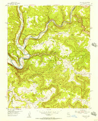
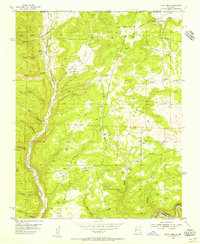
1954 Map of Pine River
USGS Topo · Published 1968About this map
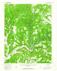
The confluence of the Los Pinos River and the San Juan River defines this high-desert landscape in northern New Mexico during the mid-1950s. The small settlement of Pine River serves as the focal point near the river junction, surrounded by a complex network of drainage systems including Frances Creek, La Jara Creek, and the deeply incised Gobernador Canyon. The topography is marked by significant elevation changes, notably at Smith Pass, which overlooks a region increasingly shaped by energy extraction.
Find a feature on this map
14 named features on this map. Tap any name to fly to it.
Don’t see what you’re looking for? This feature index may not catch every label — zoom into the map to look around manually.
Map Details
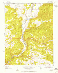
Editions of this 1954 Pine River Map
4 editions found
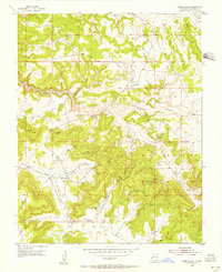
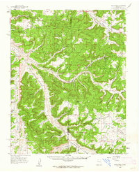
Other maps of this area

1889 · Largo
USGS Topo · 1:250,000

1895 · Largo
USGS Topo · 1:250,000
1954 · Pine River
USGS Topo · 1:24,000
1954 · Burnt Mesa
USGS Topo · 1:24,000
1954 · Rosa
USGS Topo · 1:24,000
1954 · Gomez Ranch
USGS Topo · 1:24,000

1954 · Aztec
USGS Topo · 1:250,000

1958 · Aztec
USGS Topo · 1:250,000
1959 · Gould Pass
USGS Topo · 1:62,500
1959 · Navajo Dam
USGS Topo · 1:62,500