
1954 Map of Gomez Ranch
USGS Topo · Published 1956About this map
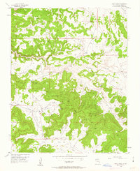
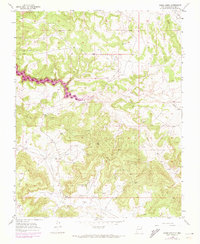
Gomez Ranch and the nearby San Juan Camp anchor this mid-century topographic record of northern New Mexico's high desert. The landscape is defined by the deep incisions of La Jara Canyon and La Fragua Canyon, which cut through the tablelands of Rio Arriba County. Industrial development is evident throughout the terrain, marked by an extensive network of pipelines and numerous Gas Wells that trace the energy extraction of the San Juan Basin during the 1950s. A remote Landing Strip situated near Frances Creek further illustrates the logistical requirements of managing these isolated outposts. Notable geodetic markers like VABM Frances 6899 and a solitary Cem near the eastern canyon rim offer specific points of interest for genealogists and surveyors looking into the human and technical history of this rugged area.
Find a feature on this map
19 named features on this map. Tap any name to fly to it.
Don’t see what you’re looking for? This feature index may not catch every label — zoom into the map to look around manually.
Map Details
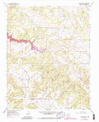
Editions of this 1954 Gomez Ranch Map
4 editions found
Other maps of this area

1889 · Largo
USGS Topo · 1:250,000

1895 · Largo
USGS Topo · 1:250,000

1954 · Pine River
USGS Topo · 1:24,000
1954 · Burnt Mesa
USGS Topo · 1:24,000

1954 · Rosa
USGS Topo · 1:24,000

1954 · Aztec
USGS Topo · 1:250,000

1958 · Aztec
USGS Topo · 1:250,000

1959 · Gould Pass
USGS Topo · 1:62,500

1959 · Navajo Dam
USGS Topo · 1:62,500

1962 · Aztec
USGS Topo · 1:250,000