
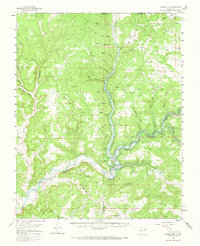
1959 Map of Navajo Dam
USGS Topo · Published 1962About this map
Archuleta and the newly emerging Navajo City anchor this late 1950s survey of the confluence of the San Juan River and Gobernador Canyon. The map records a landscape in transition as the Navajo Dam begins to alter the geography of the Four Corners region, with the Intake Tower and Landing Strip marking the engineering efforts that would create the Navajo Reservoir. Blue hatching indicates areas destined to be submerged at the 6101-foot elevation mark, showing how the rising waters would fill deep drainage systems like Pump Canyon and Frances Creek. Local landmarks such as Benito Sch and Baltzar Peak stand alongside numerous family-named canyons, including Reese, Garcia, and Negro Andy, while a network of trails and jeep trails provides the only access through the broken terrain of Burnt Mesa.
Find a feature on this map
44 named features on this map. Tap any name to fly to it.
Don’t see what you’re looking for? This feature index may not catch every label — zoom into the map to look around manually.
Map Details
Editions of this 1959 Navajo Dam Map
2 editions found
Other maps of this area

1889 · Largo
USGS Topo · 1:250,000

1895 · Largo
USGS Topo · 1:250,000

1908 · Ignacio
USGS Topo · 1:125,000

1924 · Ignacio
USGS Topo · 1:125,000

1924 · Pagosa Springs
USGS Topo · 1:125,000

1927 · Pagosa Springs
USGS Topo · 1:125,000

1945 · Durango
USGS Topo · 1:250,000

1953 · Durango
USGS Topo · 1:250,000

1954 · Durango
USGS Topo · 1:250,000

1954 · Allison
USGS Topo · 1:24,000