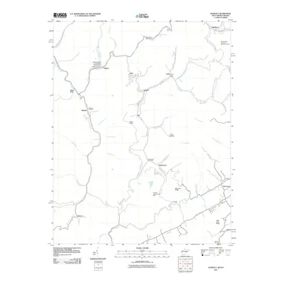
2011 Map of Anawalt
USGS Topo · Published 2011About this map
The rugged topography of the central Appalachian coalfields defines this area on the border of West Virginia and Virginia. In this pocket of the coal country, industrial and residential life follows the deep incisions of the Tug Fork and its tributaries, where settlements like Jenkinjones, Anawalt, and Pageton are linked by winding roads and active post offices. The infrastructure of the coal industry is evident through specialized features such as the Belcher Branch Coal Refuse Disposal Dam and the Tug Fork Impoundment Dam, reflecting the region's long-standing economic focus.
Find a feature on this map
64 named features on this map. Tap any name to fly to it.
Don’t see what you’re looking for? This feature index may not catch every label — zoom into the map to look around manually.
Map Details
Editions of this 2011 Anawalt Map
This is the sole edition of this map. No revisions or reprints were ever made.
Other maps of this area

1887 · Pocahontas
USGS Topo · 1:125,000

1891 · Tazewell
USGS Topo · 1:125,000

1891 · Pocahontas
USGS Topo · 1:125,000

1894 · Pocahontas
USGS Topo · 1:125,000

1895 · Tazewell
USGS Topo · 1:125,000

1895 · Pocahontas
USGS Topo · 1:125,000

1897 · Tazewell
USGS Topo · 1:125,000

1909 · Pocahontas Special
USGS Topo · 1:48,000

1911 · Pocahontas Special
USGS Topo · 1:62,500

1912 · Pounding Mill
USGS Topo · 1:62,500