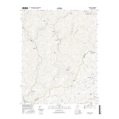
2016 Map of Anawalt
USGS Topo · Published 2016About this map
Anawalt and the surrounding coal country settlements sit at the heart of this 2016 survey along the West Virginia and Virginia state line. The landscape is defined by the steep valleys of the Tug Fork and Elkhorn Cr, where tight clusters of streets and homes like Jenkinjones and Pageton follow the winding watercourses. Large-scale industrial features, including the Pageton Refuse Impoundment and Jenkinjones Impoundment, signify the region's enduring connection to the mining industry.
Find a feature on this map
88 named features on this map. Tap any name to fly to it.
Don’t see what you’re looking for? This feature index may not catch every label — zoom into the map to look around manually.
Map Details
Editions of this 2016 Anawalt Map
This is the sole edition of this map. No revisions or reprints were ever made.
Other maps of this area

1887 · Pocahontas
USGS Topo · 1:125,000

1891 · Tazewell
USGS Topo · 1:125,000

1891 · Pocahontas
USGS Topo · 1:125,000

1894 · Pocahontas
USGS Topo · 1:125,000

1895 · Tazewell
USGS Topo · 1:125,000

1895 · Pocahontas
USGS Topo · 1:125,000

1897 · Tazewell
USGS Topo · 1:125,000

1909 · Pocahontas Special
USGS Topo · 1:48,000

1911 · Pocahontas Special
USGS Topo · 1:62,500

1912 · Pounding Mill
USGS Topo · 1:62,500