Loading...
Loading map...2023 Map of Anawalt
USGS Topo · Published 2023About this map
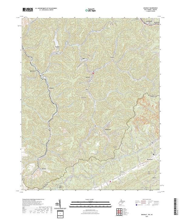
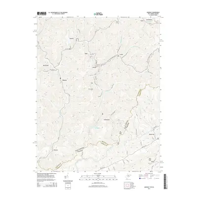
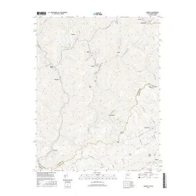
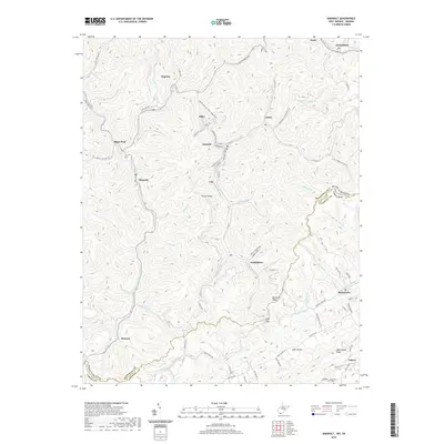
Anawalt and the surrounding coal camps of McDowell County are meticulously documented in this 2023 survey. The landscape is defined by the narrow valleys of the Tug Fork and its tributaries, where settlements like Jenkinjones, Pageton, and Leckie follow the winding watercourses and mountain roads. The rugged terrain of the Appalachian Plateau is evident in the sharp elevations of Peeled Chestnut Ridge and Totten Ridge, which hem in the historically significant mining towns.
Find a feature on this map
90 named features on this map. Tap any name to fly to it.
Don’t see what you’re looking for? This feature index may not catch every label — zoom into the map to look around manually.
Map Details
Date Portrayed2023
Date Published2023
PublisherU.S. Geological Survey
Map TypeTopographic
Scale1:24,000
Physical Dimensions24 x 29 inches
Editions of this 2023 Anawalt Map
This is the sole edition of this map. No revisions or reprints were ever made.
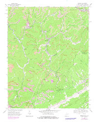
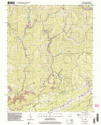
Historical Maps of Boissevain Through Time
7 maps found
Featured Locations
Source Details
SourceU.S. Geological Survey
CopyrightPublic Domain