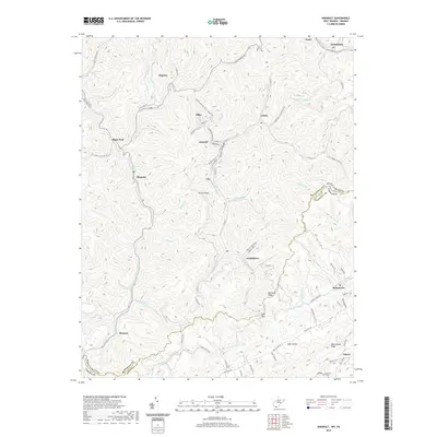
2001 Map of Anawalt
USGS Topo · Published 2003About this map
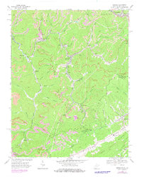
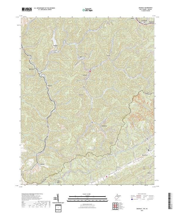
Anawalt serves as a central hub in this Appalachian coal country landscape, situated where Mill Creek meets the Tug Fork river system. The terrain is defined by the sharp elevations of Totten Ridge and Stony Ridge, where the Norfolk and Western railroad snakes through narrow hollows to serve industrial settlements like Jenkinjones and Pageton. The map documents a landscape heavily shaped by extraction, visible in the presence of several Strip Mine operations and industrial infrastructure including a Conveyor and Substations. Beyond the mining activity, the Anawalt State Wildlife Management Area covers a significant portion of the eastern hills. Small communities such as Skygusty, Leckie, and Lila are tucked into the valleys, while the state line separates West Virginia from Virginia near Abbs Valley-Boissevain and the high pastures of Abbs Valley.
Find a feature on this map
53 named features on this map. Tap any name to fly to it.
Don’t see what you’re looking for? This feature index may not catch every label — zoom into the map to look around manually.
Map Details
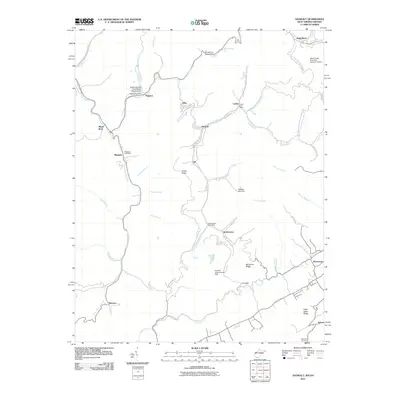
Editions of this 2001 Anawalt Map
This is the sole edition of this map. No revisions or reprints were ever made.
Historical Maps of Boissevain Through Time
7 maps found