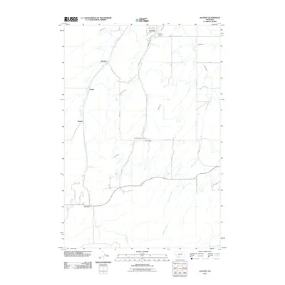
2011 Map of Anceney
USGS Topo · Published 2011About this map
Anceney and Churchill anchor this rural landscape in Gallatin County, where the agricultural economy is defined by a sophisticated network of irrigation. The Highline Canal, Lowline Canal, and Valley Ditch cut across the terrain, drawing water to support the small settlements of Westlake, Arnold, and Vincent. This 2011 survey documents a corridor of transit and community life, featuring family-named roads like Visser Rd and Kimm Rd that connect isolated farmsteads. Local heritage is preserved in the small burial grounds of Little Holland Cemetery and Hills Cemetery, located near the central drainage of Godfrey Creek. To the north, the terrain drops into Godfrey Canyon, while the southern reaches are marked by the winding path of Yellow Dog Creek, illustrating the intersection of natural watercourses and man-made engineering essential to this Montana valley.
Find a feature on this map
34 named features on this map. Tap any name to fly to it.
Don’t see what you’re looking for? This feature index may not catch every label — zoom into the map to look around manually.
Map Details
Editions of this 2011 Anceney Map
This is the sole edition of this map. No revisions or reprints were ever made.
Other maps of this area

1888 · Three Forks
USGS Topo · 1:250,000

1894 · Three Forks
USGS Topo · 1:250,000

1895 · Three Forks
USGS Topo · 1:250,000

1947 · Bozeman
USGS Topo · 1:250,000

1948 · Bozeman
USGS Topo · 1:250,000

1949 · Anceney
USGS Topo · 1:62,500

1949 · Manhattan
USGS Topo · 1:62,500

1950 · Belgrade
USGS Topo · 1:62,500

1953 · Bozeman
USGS Topo · 1:62,500

1955 · Bozeman
USGS Topo · 1:250,000