
1953 Map of Bozeman
USGS Topo · Published 1953About this map
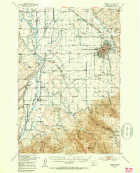
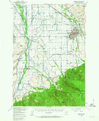
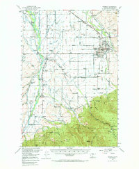
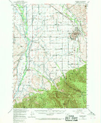
Bozeman serves as the primary hub of this 1950s landscape, centered on the campus of Montana State College and the surrounding agricultural valley. The transition from the town's grid to the peaks of the Gallatin National Forest is mapped in detail, showing a network of irrigation ditches such as the Moreland Ditch and Spain Ditch that sustained the local ranching economy. Transportation is defined by two major rail lines, the Northern Pacific and the Chicago Milwaukee St Paul and Pacific, which connect the city to outlying settlements like Gallatin Gateway and Bozeman Hot Springs.
Find a feature on this map
102 named features on this map. Tap any name to fly to it.
Don’t see what you’re looking for? This feature index may not catch every label — zoom into the map to look around manually.
Map Details
Editions of this 1953 Bozeman Map
5 editions found
Other maps of this area

1888 · Three Forks
USGS Topo · 1:250,000

1891 · Livingston
USGS Topo · 1:250,000

1893 · Livingston
USGS Topo · 1:250,000

1894 · Three Forks
USGS Topo · 1:250,000

1895 · Three Forks
USGS Topo · 1:250,000

1947 · Bozeman
USGS Topo · 1:250,000

1948 · Bozeman
USGS Topo · 1:250,000

1949 · Anceney
USGS Topo · 1:62,500

1949 · Manhattan
USGS Topo · 1:62,500

1950 · Belgrade
USGS Topo · 1:62,500