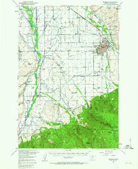
1953 Map of Bozeman
USGS Topo · Published 1963About this map
Bozeman serves as the focal point of this 1950s survey, showing the city's early post-war footprint including Montana State College, the Fair Grounds, and the Sunset Hills Cemetery. The map captures the transition from the urban grid to the expansive Gallatin Valley, where an intricate network of irrigation systems like the Valley View Ditch and Mammoth Ditch support a landscape dotted with numerous small country schools. To the south, the terrain shifts abruptly as the valley floor meets the Forest Boundary of the Gallatin National Forest, rising toward Wheeler Mountain. Transportation is defined by the dual presence of the Northern Pacific and the Chicago Milwaukee St Paul and Pacific railroads, which helped establish rural hubs such as Gallatin Gateway and Bozeman Hot Springs. The detailed mapping of family-named ranches and irrigation ditches reflects the region's deeply rooted agricultural and water rights history.
Find a feature on this map
136 named features on this map. Tap any name to fly to it.
Don’t see what you’re looking for? This feature index may not catch every label — zoom into the map to look around manually.
Map Details
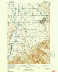
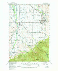
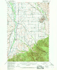
Editions of this 1953 Bozeman Map
5 editions found

Other maps of this area

1888 · Three Forks
USGS Topo · 1:250,000

1891 · Livingston
USGS Topo · 1:250,000

1893 · Livingston
USGS Topo · 1:250,000

1894 · Three Forks
USGS Topo · 1:250,000

1895 · Three Forks
USGS Topo · 1:250,000

1947 · Bozeman
USGS Topo · 1:250,000

1948 · Bozeman
USGS Topo · 1:250,000

1949 · Anceney
USGS Topo · 1:62,500

1949 · Manhattan
USGS Topo · 1:62,500

1950 · Belgrade
USGS Topo · 1:62,500