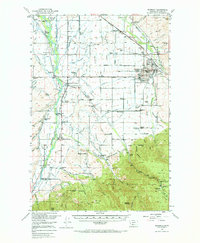
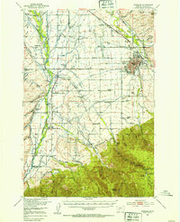
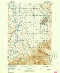
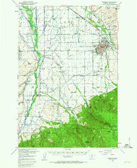
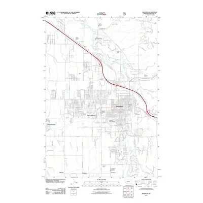
1953 Map of Bozeman
USGS Topo · Published 1969About this map
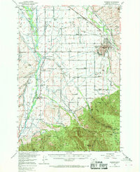
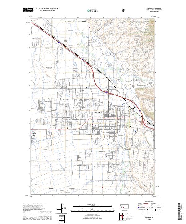
Bozeman serves as a bustling center of activity in the early 1950s, defined by the expanding campus of Montana State College and the intersection of the Northern Pacific RR and the Chicago Milwaukee St Paul and Pacific RR. The landscape is a complex network of agricultural irrigation, with the East Gallatin River and West Gallatin River feeding dozens of named waterways like the Spain Ferris Fork Ditch and Moreland Ditch. To the south, the valley gives way to the dense woods of the Gallatin National Forest, where the terrain rises toward Wheeler Mountain and Noon Mark.
Find a feature on this map
126 named features on this map. Tap any name to fly to it.
Don’t see what you’re looking for? This feature index may not catch every label — zoom into the map to look around manually.
Map Details
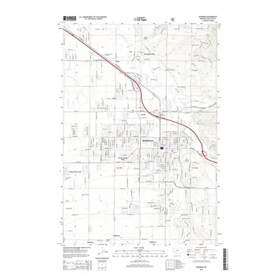
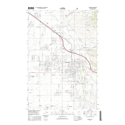
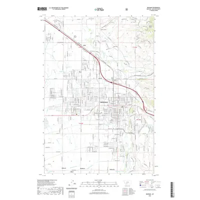
Editions of this 1953 Bozeman Map
5 editions found
Historical Maps of Bozeman Through Time
13 maps found

1947 Bozeman
Gallatin County, MT

1948 Bozeman
Gallatin County, MT
1953 Bozeman
Gallatin County, MT

1955 Bozeman
Gallatin County, MT
1958 Bozeman
Gallatin County, MT

1965 Bozeman
Gallatin County, MT
1987 Bozeman
Gallatin County, MT
1992 Bozeman
Gallatin County, MT
2011 Bozeman
Gallatin County, MT
2014 Bozeman
Gallatin County, MT
2017 Bozeman
Gallatin County, MT
2020 Bozeman
Gallatin County, MT
2024 Bozeman
Gallatin County, MT