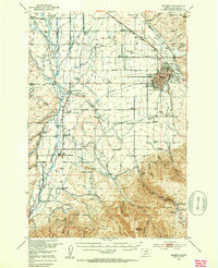
1953 Map of Bozeman
USGS Topo · Published 1953About this map
Bozeman serves as the focal point of this Gallatin Valley landscape in the early 1950s, with the sprawling campus of Montana State College and landmarks like Lindley Park and the Bozeman Country Club anchoring the city's eastern edge. The map captures a transition point in Western development, where the industrial infrastructure of the Northern Pacific and Chicago Milwaukee St Paul and Pacific railroads intersects with a dense network of agricultural irrigation, including the Farmers Canal and the Moreland Ditch.
Find a feature on this map
120 named features on this map. Tap any name to fly to it.
Don’t see what you’re looking for? This feature index may not catch every label — zoom into the map to look around manually.
Map Details
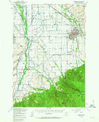
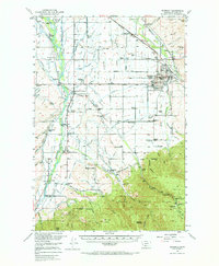
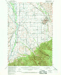
Editions of this 1953 Bozeman Map
5 editions found

Other maps of this area

1888 · Three Forks
USGS Topo · 1:250,000

1891 · Livingston
USGS Topo · 1:250,000

1893 · Livingston
USGS Topo · 1:250,000

1894 · Three Forks
USGS Topo · 1:250,000

1895 · Three Forks
USGS Topo · 1:250,000

1947 · Bozeman
USGS Topo · 1:250,000

1948 · Bozeman
USGS Topo · 1:250,000

1949 · Anceney
USGS Topo · 1:62,500

1949 · Manhattan
USGS Topo · 1:62,500

1950 · Belgrade
USGS Topo · 1:62,500