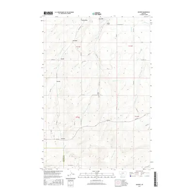
2017 Map of Anceney
USGS Topo · Published 2017About this map
The agricultural communities of Amsterdam and Churchill anchor the northern landscape of this Gallatin County region, where an intricate network of irrigation supports the local economy. The distribution of water is managed through significant engineering projects like the Lowline Canal, Highline Canal, and the Green Lateral, which cut across the terrain to feed the surrounding fields. These water systems follow the natural contours of the land, winding between points such as Godfrey Canyon and the banks of Camp Creek.
Find a feature on this map
45 named features on this map. Tap any name to fly to it.
Don’t see what you’re looking for? This feature index may not catch every label — zoom into the map to look around manually.
Map Details
Editions of this 2017 Anceney Map
This is the sole edition of this map. No revisions or reprints were ever made.
Other maps of this area

1888 · Three Forks
USGS Topo · 1:250,000

1894 · Three Forks
USGS Topo · 1:250,000

1895 · Three Forks
USGS Topo · 1:250,000

1947 · Bozeman
USGS Topo · 1:250,000

1948 · Bozeman
USGS Topo · 1:250,000

1949 · Anceney
USGS Topo · 1:62,500

1949 · Manhattan
USGS Topo · 1:62,500

1950 · Belgrade
USGS Topo · 1:62,500

1953 · Bozeman
USGS Topo · 1:62,500

1955 · Bozeman
USGS Topo · 1:250,000