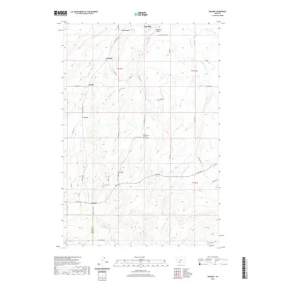
2020 Map of Anceney
USGS Topo · Published 2020About this map
Anceney and Amsterdam anchor this portion of the Gallatin Valley, where an extensive network of irrigation infrastructure defines the agricultural landscape. The reliance on water management is evident in the paths of the Lowline Canal, Highline Canal, and several smaller ditches like Keughen Ditch and Valley Ditch, which redirect flow across the plains to support local ranching and farming. This modern survey shows a landscape transitioning between established agricultural roots and newer residential development, with street names like Raw Sienna Sky Rd and Majestic View Dr appearing alongside traditional rural routes.
Find a feature on this map
46 named features on this map. Tap any name to fly to it.
Don’t see what you’re looking for? This feature index may not catch every label — zoom into the map to look around manually.
Map Details
Editions of this 2020 Anceney Map
This is the sole edition of this map. No revisions or reprints were ever made.
Other maps of this area
1888 · Three Forks
USGS Topo · 1:250,000
1894 · Three Forks
USGS Topo · 1:250,000
1895 · Three Forks
USGS Topo · 1:250,000

1947 · Bozeman
USGS Topo · 1:250,000

1948 · Bozeman
USGS Topo · 1:250,000
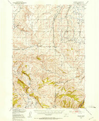
1949 · Anceney
USGS Topo · 1:62,500
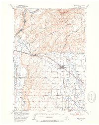
1949 · Manhattan
USGS Topo · 1:62,500
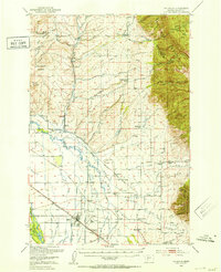
1950 · Belgrade
USGS Topo · 1:62,500
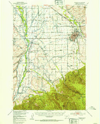
1953 · Bozeman
USGS Topo · 1:62,500
1955 · Bozeman
USGS Topo · 1:250,000