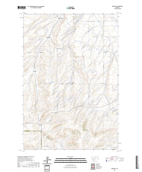
2024 Map of Anceney
USGS Topo · Published 2024About this map
Agricultural settlements and a complex irrigation network define the landscape of the Gallatin Valley on this modern survey. The small community of Anceney sits at the southwestern edge of the quadrangle near the Gallatin and Madison County line, while the northern reaches include Amsterdam and Westlake. The land is meticulously organized around water management, with the Highline Canal, Lowline Canal, and various waterworks like Keughen Ditch and Valley Ditch contouring the terrain to support local ranching and farming operations.
Find a feature on this map
40 named features on this map. Tap any name to fly to it.
Don’t see what you’re looking for? This feature index may not catch every label — zoom into the map to look around manually.
Map Details
Editions of this 2024 Anceney Map
This is the sole edition of this map. No revisions or reprints were ever made.
Other maps of this area

1888 · Three Forks
USGS Topo · 1:250,000

1894 · Three Forks
USGS Topo · 1:250,000

1895 · Three Forks
USGS Topo · 1:250,000

1947 · Bozeman
USGS Topo · 1:250,000

1948 · Bozeman
USGS Topo · 1:250,000

1949 · Anceney
USGS Topo · 1:62,500

1949 · Manhattan
USGS Topo · 1:62,500

1950 · Belgrade
USGS Topo · 1:62,500

1953 · Bozeman
USGS Topo · 1:62,500

1955 · Bozeman
USGS Topo · 1:250,000