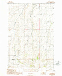
1988 Map of Anceney
USGS Topo · Published 1988About this map
Anceney and the surrounding high plains of southwestern Montana appear in this late 1980s record of a landscape defined by its irrigation infrastructure. The map illustrates a complex network of man-made waterways, including the Highline Canal, Lowline Canal, and various ditches like the Valley Ditch and Keughen Ditch. These systems divert water from natural drainages like Godfrey Creek and Camp Creek to support the agricultural productivity of the region.
Find a feature on this map
18 named features on this map. Tap any name to fly to it.
Don’t see what you’re looking for? This feature index may not catch every label — zoom into the map to look around manually.
Map Details
Editions of this 1988 Anceney Map
This is the sole edition of this map. No revisions or reprints were ever made.
Other maps of this area

1888 · Three Forks
USGS Topo · 1:250,000

1894 · Three Forks
USGS Topo · 1:250,000

1895 · Three Forks
USGS Topo · 1:250,000

1947 · Bozeman
USGS Topo · 1:250,000

1948 · Bozeman
USGS Topo · 1:250,000

1949 · Anceney
USGS Topo · 1:62,500

1949 · Manhattan
USGS Topo · 1:62,500

1950 · Belgrade
USGS Topo · 1:62,500

1953 · Bozeman
USGS Topo · 1:62,500

1955 · Bozeman
USGS Topo · 1:250,000