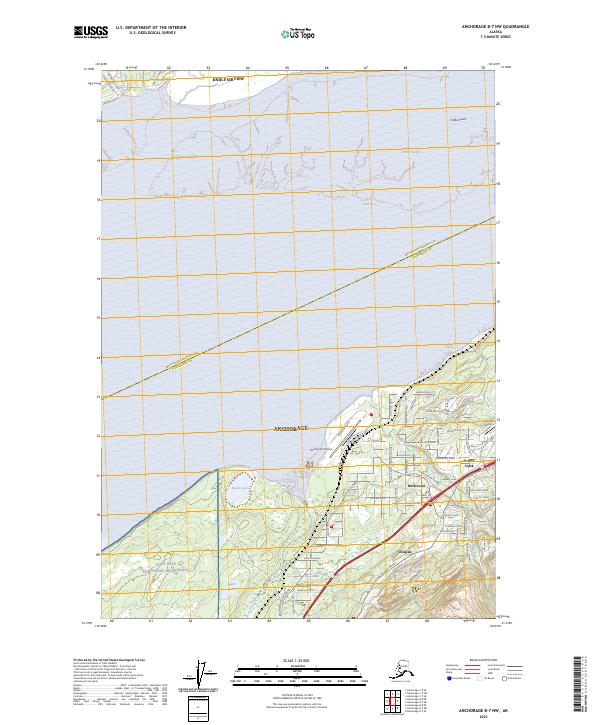
2023 Map of Anchorage B-7 NW
USGS Topo · Published 2023About this map
The northern reaches of Anchorage meet the tidal flats of Knik Arm in this contemporary overview of the Chugiak-Birchwood area. The landscape is defined by the transition from the coastal waters at Palmer Slough and Coffee Point to the growing residential corridors and military grounds of Joint Base Elmendorf-Richardson. Small-scale aviation infrastructure is prominent, with both the Birchwood Airport and Hilltop Airport serving the region.
Find a feature on this map
70 named features on this map. Tap any name to fly to it.
Don’t see what you’re looking for? This feature index may not catch every label — zoom into the map to look around manually.
Map Details
Editions of this 2023 Anchorage B-7 NW Map
This is the sole edition of this map. No revisions or reprints were ever made.
Other maps of this area

1950 · Anchorage C-8
USGS Topo · 1:63,360

1950 · Anchorage C-7
USGS Topo · 1:63,360

1951 · Anchorage
USGS Topo · 1:250,000

1951 · Anchorage C-7
USGS Topo · 1:63,360

1952 · Anchorage C-7
USGS Topo · 1:63,360

1952 · Anchorage C-8
USGS Topo · 1:63,360

1952 · Anchorage B-8
USGS Topo · 1:63,360

1953 · Anchorage B-8
USGS Topo · 1:63,360

1960 · Anchorage B-7
USGS Topo · 1:63,360

1962 · Anchorage
USGS Topo · 1:250,000