
1960 Map of Anchorage B-7
USGS Topo · Published 1961About this map
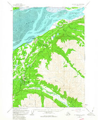
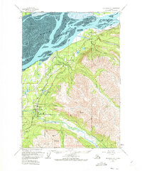
Eagle River and its neighboring settlements of Chugiak and Birchwood sit at the base of the Chugach foothills in this 1960 survey, illustrating a period of residential and military expansion along the Glenn Highway. The coastal landscape is defined by the expansive mud flats of the Knik Arm and the southern reaches of the Fort Richardson Military Reservation. Transportation and logistics are central to the area's layout, shown by the route of the Alaska Railroad and the presence of the Birchwood Auxiliary Airfield.
Find a feature on this map
37 named features on this map. Tap any name to fly to it.
Don’t see what you’re looking for? This feature index may not catch every label — zoom into the map to look around manually.
Map Details
Editions of this 1960 Anchorage B-7 Map
4 editions found

Other maps of this area

1950 · Anchorage C-8
USGS Topo · 1:63,360

1950 · Anchorage C-7
USGS Topo · 1:63,360

1951 · Anchorage
USGS Topo · 1:250,000

1951 · Anchorage C-6
USGS Topo · 1:63,360

1951 · Anchorage C-7
USGS Topo · 1:63,360

1952 · Anchorage C-7
USGS Topo · 1:63,360

1952 · Anchorage C-8
USGS Topo · 1:63,360

1952 · Anchorage A-8
USGS Topo · 1:63,360

1952 · Anchorage B-8
USGS Topo · 1:63,360

1953 · Anchorage A-8
USGS Topo · 1:63,360