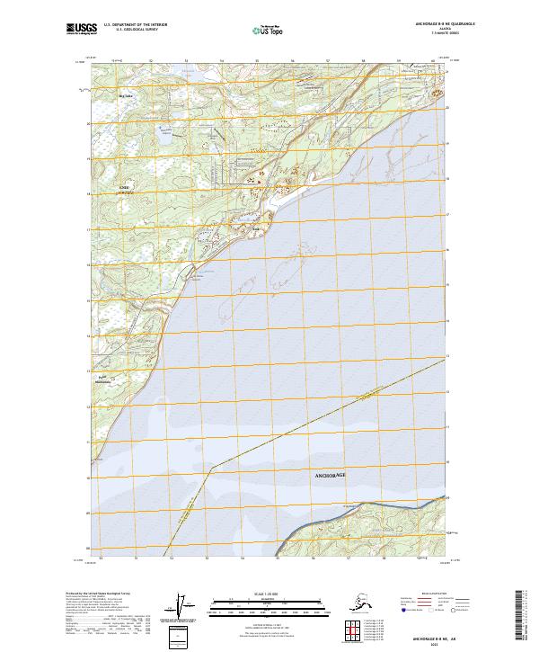
2023 Map of Anchorage B-8 NE
USGS Topo · Published 2023About this map
Knik and the residential expansion of Knik-Fairview define this coastal landscape along the northern shores of the Knik Arm. The area is characterized by a high concentration of private aviation infrastructure, featuring numerous small landing grounds such as the Birchwater Airport, Huttunen Strip, and Settlers Bay Airstrip. These facilities reflect the region's reliance on air travel for local connectivity.
Find a feature on this map
77 named features on this map. Tap any name to fly to it.
Don’t see what you’re looking for? This feature index may not catch every label — zoom into the map to look around manually.
Map Details
Editions of this 2023 Anchorage B-8 NE Map
This is the sole edition of this map. No revisions or reprints were ever made.
Other maps of this area

1950 · Anchorage C-8
USGS Topo · 1:63,360

1950 · Anchorage C-7
USGS Topo · 1:63,360

1951 · Anchorage
USGS Topo · 1:250,000

1951 · Anchorage C-7
USGS Topo · 1:63,360

1952 · Anchorage C-7
USGS Topo · 1:63,360

1952 · Anchorage C-8
USGS Topo · 1:63,360

1952 · Anchorage B-8
USGS Topo · 1:63,360

1953 · Anchorage B-8
USGS Topo · 1:63,360

1960 · Anchorage B-7
USGS Topo · 1:63,360

1962 · Anchorage
USGS Topo · 1:250,000