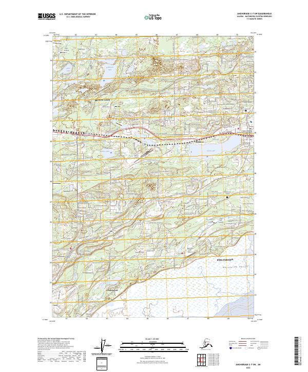
2023 Map of Anchorage C-7 SW
USGS Topo · Published 2023About this map
The Matanuska Valley around Wasilla and Knik-Fairview shows a landscape defined by an intricate network of glacial lakes and small airfields. This modern survey captures the transition of the region from its agricultural roots to a suburban-industrial hub, where the Alaska Railroad cuts through the terrain near the shores of Lucille Lake. The area is notably dense with private aviation sites like Wasilla Airport, Kalmbach Airport, and Bluff Park Farm Airport, reflecting the unique transport needs of this part of Alaska.
Find a feature on this map
167 named features on this map. Tap any name to fly to it.
Don’t see what you’re looking for? This feature index may not catch every label — zoom into the map to look around manually.
Map Details
Editions of this 2023 Anchorage C-7 SW Map
This is the sole edition of this map. No revisions or reprints were ever made.
Other maps of this area

1950 · Anchorage C-8
USGS Topo · 1:63,360

1950 · Anchorage C-7
USGS Topo · 1:63,360

1951 · Anchorage
USGS Topo · 1:250,000

1951 · Anchorage C-7
USGS Topo · 1:63,360

1952 · Anchorage C-7
USGS Topo · 1:63,360

1952 · Anchorage C-8
USGS Topo · 1:63,360

1952 · Anchorage B-8
USGS Topo · 1:63,360

1953 · Anchorage B-8
USGS Topo · 1:63,360

1960 · Anchorage B-7
USGS Topo · 1:63,360

1962 · Anchorage
USGS Topo · 1:250,000