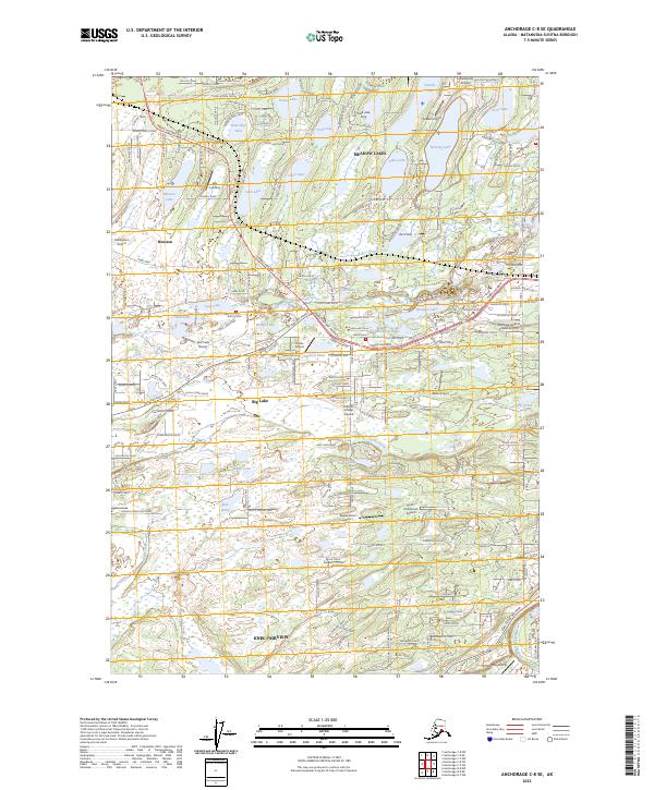
2023 Map of Anchorage C-8 SE
USGS Topo · Published 2023About this map
Meadow Lakes and Big Lake anchor this 2023 survey of the Matanuska-Susitna Borough, revealing a landscape defined by its intricate network of lakes and small-scale aviation. The area is dense with private landing strips and public airports, including Lincoln Village Airpark, Tulakes Airport, and the Settlers Bay Airstrip, reflecting the importance of air travel in this part of Alaska. Major transit corridors like the Parks Highway and Big Lake Road connect the growing communities of Houston and Knik-Fairview across a terrain woven with water bodies such as Loon Lake, Cheri Lake, and Whale Lake. The map details the modern settlement patterns where residential developments meet the glacial hydrology of Lucille Creek and Meadow Creek, providing a contemporary record of land use and transportation in the Susitna Valley.
Find a feature on this map
56 named features on this map. Tap any name to fly to it.
Don’t see what you’re looking for? This feature index may not catch every label — zoom into the map to look around manually.
Map Details
Editions of this 2023 Anchorage C-8 SE Map
This is the sole edition of this map. No revisions or reprints were ever made.
Other maps of this area

1950 · Anchorage C-8
USGS Topo · 1:63,360

1950 · Anchorage C-7
USGS Topo · 1:63,360

1951 · Anchorage
USGS Topo · 1:250,000

1951 · Anchorage C-7
USGS Topo · 1:63,360

1952 · Anchorage C-7
USGS Topo · 1:63,360

1952 · Anchorage C-8
USGS Topo · 1:63,360

1952 · Anchorage B-8
USGS Topo · 1:63,360

1953 · Anchorage B-8
USGS Topo · 1:63,360

1960 · Anchorage B-7
USGS Topo · 1:63,360

1962 · Anchorage
USGS Topo · 1:250,000